
What is the UTM map?
UTM map is a type of precise global coordinate system. Using this map, you can obtain the coordinates of different points on the globe on a large scale and with high accuracy. Undoubtedly, you have heard the name of UTM map during mapping. This map is obtained according to the UTM coordinates of the earth.
Generally, every part of the globe has geographical coordinates such as longitude and latitude. These coordinates can also be found in other normal maps. But in the UTM map, the location of a land or building will be available in more detail. This map is used to find the exact location of the building. The coordinates provided by this map are unique. In such a way that you will not find coordinates similar to it anywhere on the planet.
The benefits of making UTM map
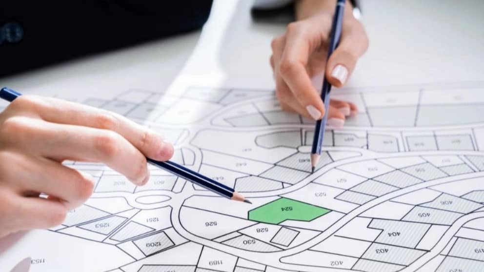
A UTM map has countless benefits for property owners. By using this map, in addition to locating the building, you can also take the necessary measures to receive the document. To ensure the correctness of the information entered in the UTM map, you must consult with the surveyor engineer before any action. Also, refer to specialized and experienced engineers and experts to prepare this map. Among the uses of UTM map, the following can be mentioned:
Plaque deployment at your original location
Using the UTM map, the desired building or land will have precise and specific coordinates on the globe. Therefore, no one can claim to have the property and building with the same coordinates. So it can be said that the UTM map does not confuse the land with other parts.
This will prevent the re-registration of the property and its ownership claim.
Precise determination of land area
One of its uses is to determine the exact size of the property. Using the UTM map, it is possible to measure the Arbaeh area and the area of the property in centimeter units. You may think that a few centimeters in the calculation of square meter is not worth much.
But due to the increasing price of the property, even a few centimeters of the land will have a high value in the future. Knowing the exact land area using the UTM map makes the seller aware of the transactions. This has a great effect in preventing the property owner's losses. It also prevents the violation of the rights of the buyer of land or building.
Reduce real estate disputes
If the borders between the neighboring lands are determined accurately, there will be no dispute between the property owners. Therefore, no property is undecided and there will be no possibility of seizing the property due to property disputes.
Possibility
One of the most important issues that happens in the matter of land ownership is the encroachment of neighbors on land boundaries. If the map of the property is old, it is not possible to prove the exact location and centimeter area of the land. However, by using the UTM map, the boundary lines of the property can be determined accurately. This work prevents the intentional or unintentional conflict of neighbors to the boundaries of the land and building.