
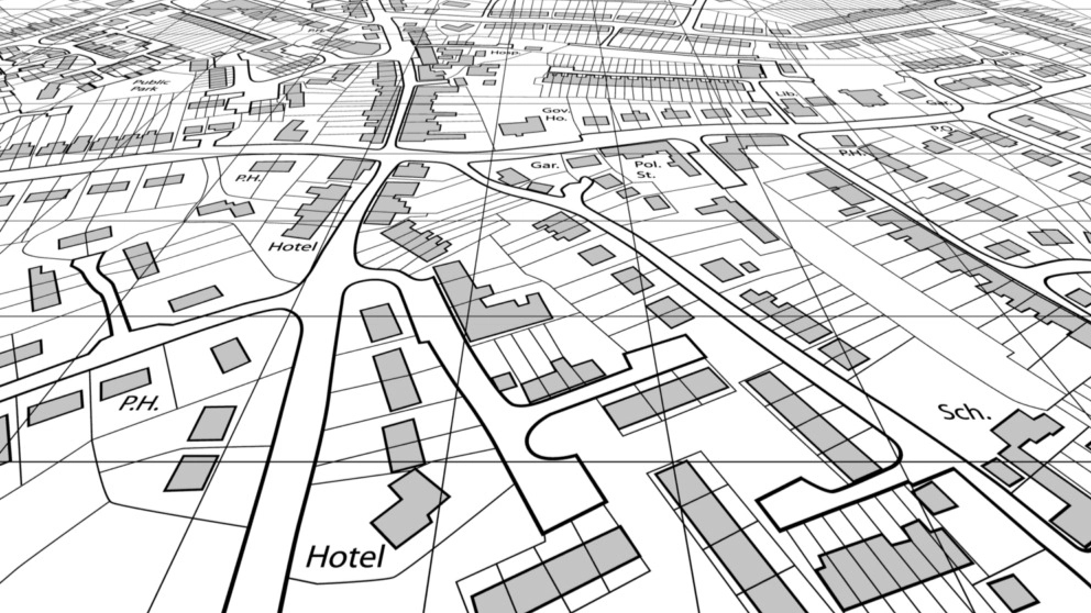
Preparation of UTM map is prepared by engineers with engineering license and official judicial experts. The method of preparing this map depends on the customer's request. But in general, it is possible to prepare a UTM map in two ways.
The first method
In the first method, a mapping camera is used to prepare a map. This method is done without GPS and in it, the location of the property is determined on the base maps. For example, engineers use 1:**** scale maps to locate the property. To get more information in this field and to answer the question of what is the use of UTM map? You can consult with mapping engineers.
The second method
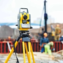
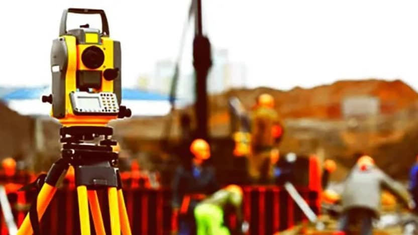
In the second method of preparing a UTM map, the location of the land is determined using a GPS device. This device has two or more frequencies and has the ability to extract accurate information such as the coordinates of the corners of the land, the area of the property and its dimensions. To prepare this map and submit it to the relevant organization in the shortest time, you should refer to experts. In this method, like the first method, it is possible to place the property in the base maps with a larger scale.