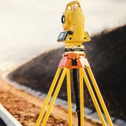

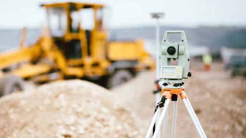
Land surveying means accurate large-scale measurement of the earth's surface, which is done with the aim of depicting the earth's surface to control constructions and show the boundaries of the land. In fact, the purpose of this work is to provide accurate quantitative and sometimes qualitative information about the earth's surface, topography, and natural and man-made features. These measurements include the measurement of angles, height difference of two points, length and area.
ابزارها و تجهیزات مورد استفاده در نقشه برداری زمینی
Of course, equipment used in land mapping includes theodolite for measuring angles between two visible points, total station for multiple mapping applications and real-time kinematics (RTK) technique for increasing GPS accuracy. Robotic versions of total stations are also available that allow the surveyor to remotely control a station alone.
Also, 3D laser scanners are used in land mapping, which are used for accurate land mapping or design. is used.
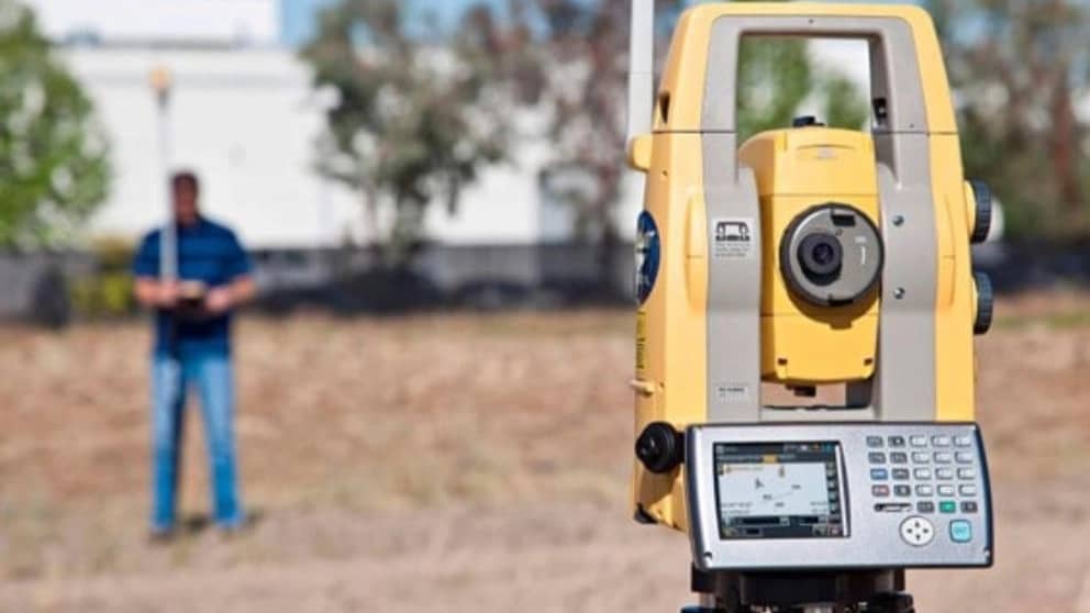
Technologies used in ground mapping
Surveying has been around for centuries, and the equipment and technologies used have changed over time, but the basic principles of surveying and surveying have remained unchanged. However, when revolutionary new technologies are launched, a new type of mapping emerges.
The advancement of new technology means that the speed and accuracy of surveyors are increasing, making difficult and time-consuming tasks routine, such as GPS, total stations, laser tubes, etc. In the last few years, the mapping community has become familiar with the technology of 3D scanners.
Laser scanners are among the latest technologies used in land mapping, which no longer require a prism to return the transmitted wave. With the addition of this feature, measuring and recording coordinates in areas that do not have easy access is easier and faster.
Also, in a more advanced way, a system has been produced that regularly scans all points in the field of view of the device and produces coordinates for all points. In fact, the output of the 3D laser scanner devices is in the form of hyperdots that are prepared from all the external surfaces of the surrounding environment.