Preparation of UTM map with Shamim system in Gilan province
Preparation of UTM map with Shamim system in Gilan province by Yab Khazar top engineers mapping company, with the highest technical standard, guarantees accurate ownership stabilization and speeding up the issuance of a single-page document of your property.
The best mapping company in Gilan The best engineers of the Caspian coordinate finder
By providing precise UTM and land separation services, Yaab Khazar Top Engineers Company is the best mapping company in Gilan, which guarantees the quality of work with advanced equipment and filter relaxation systems.
Building mapping
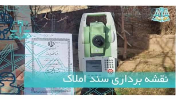
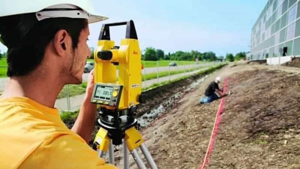
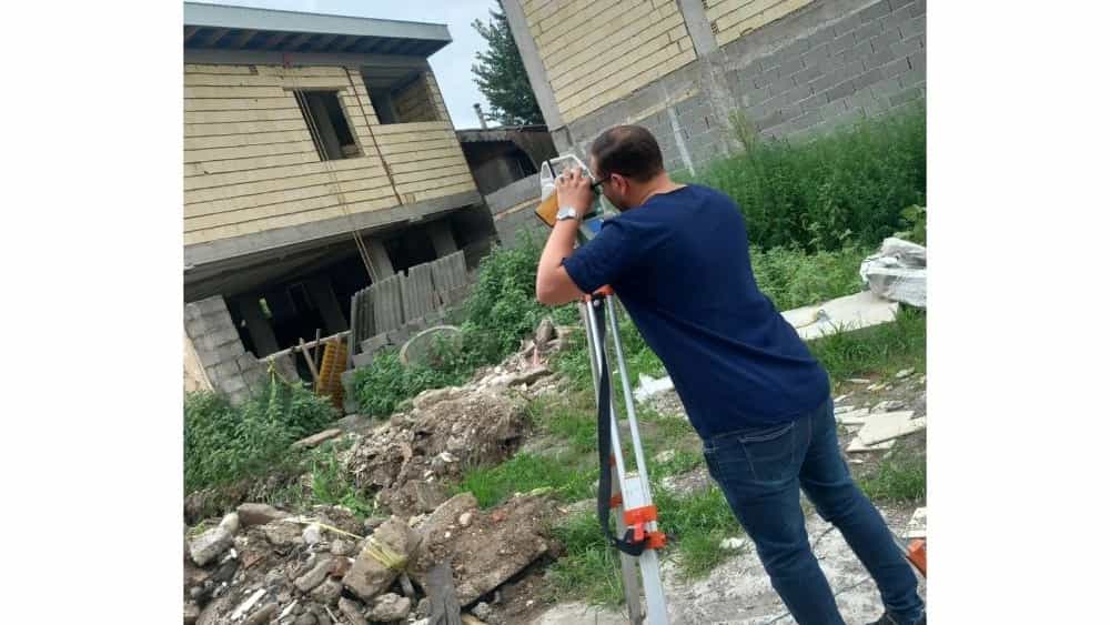
Mapping to receive the document
Document Mapping: Document Mapping Action Set of Regulatory Plaque Landing, Cadre Map, Cadastral Map and Shamim Map Surveying ownership and UTM map preparation for issuing single -leaf document, Cadastor Plan Implementation Stone Be.
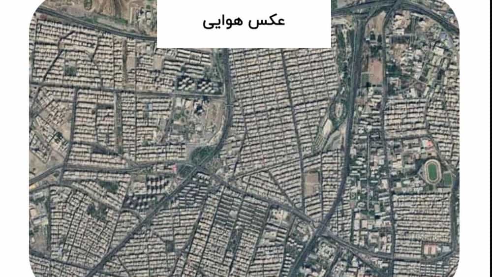
What is the aerial photo?
One of the things that you may encounter when referring to judicial and administrative courts is to prepare an aerial photo to track your property or land so that you can change the issued decision.
Rasht Mapping
Mapping approved by the provincial registry office to receive the document, document registration, UTM and Shamim instant mapping, along with Simak according to the tariff for foundation and foundation implementation with the most accurate mapping tools.
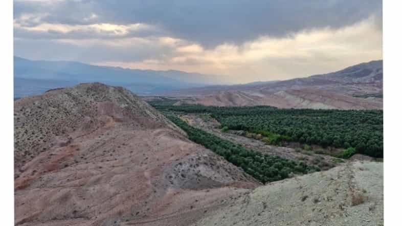
How to recognize the land that is in residential context?
If you are among the people who plan to buy a plot of land with the possibility of building a villa or a house, you should go for a plot of land that is located in Hadi's texture and design. Building a villa or a house in a land outside the residential context and Hadi plan causes problems for people.
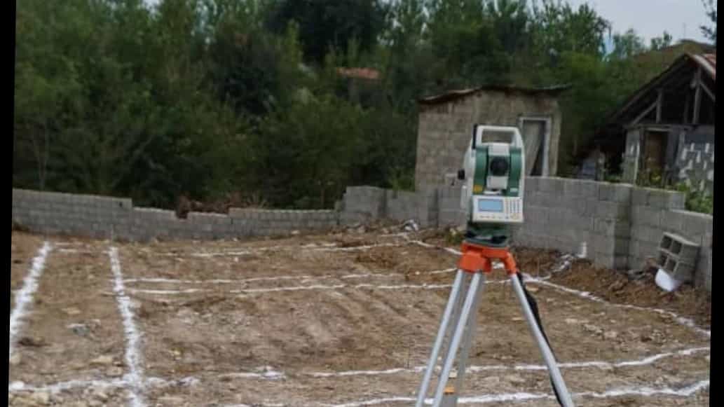
Implementation of the implementation of the villa foundation
Shamim system for integrated property management
The Shamim system is a network that is responsible for the integrated management of properties. This system has recorded all the information about the location of the land and property boundaries of the country. All people who have a license for their property.
What is separation? Why should land separation be done?
In general, dividing land means dividing a piece of land into several smaller pieces. If the piece of land has a registered document, we can register each piece separately for the owner. In these cases, the land in question is subdivided.
Mapping for land separation
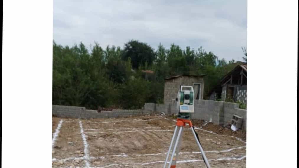
To start a construction project, sometimes it is necessary to divide a land into smaller parts, in which case you need separate mapping services and we can be of service to you dear ones.
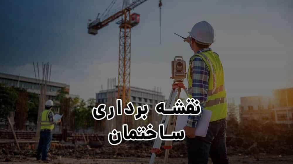
Building mapping - applications and steps
Building mapping refers to mapping activities that are carried out before construction, during construction and after construction, with the purpose of basic construction and maintenance of buildings.